The 5th
Torino-Nice Rally
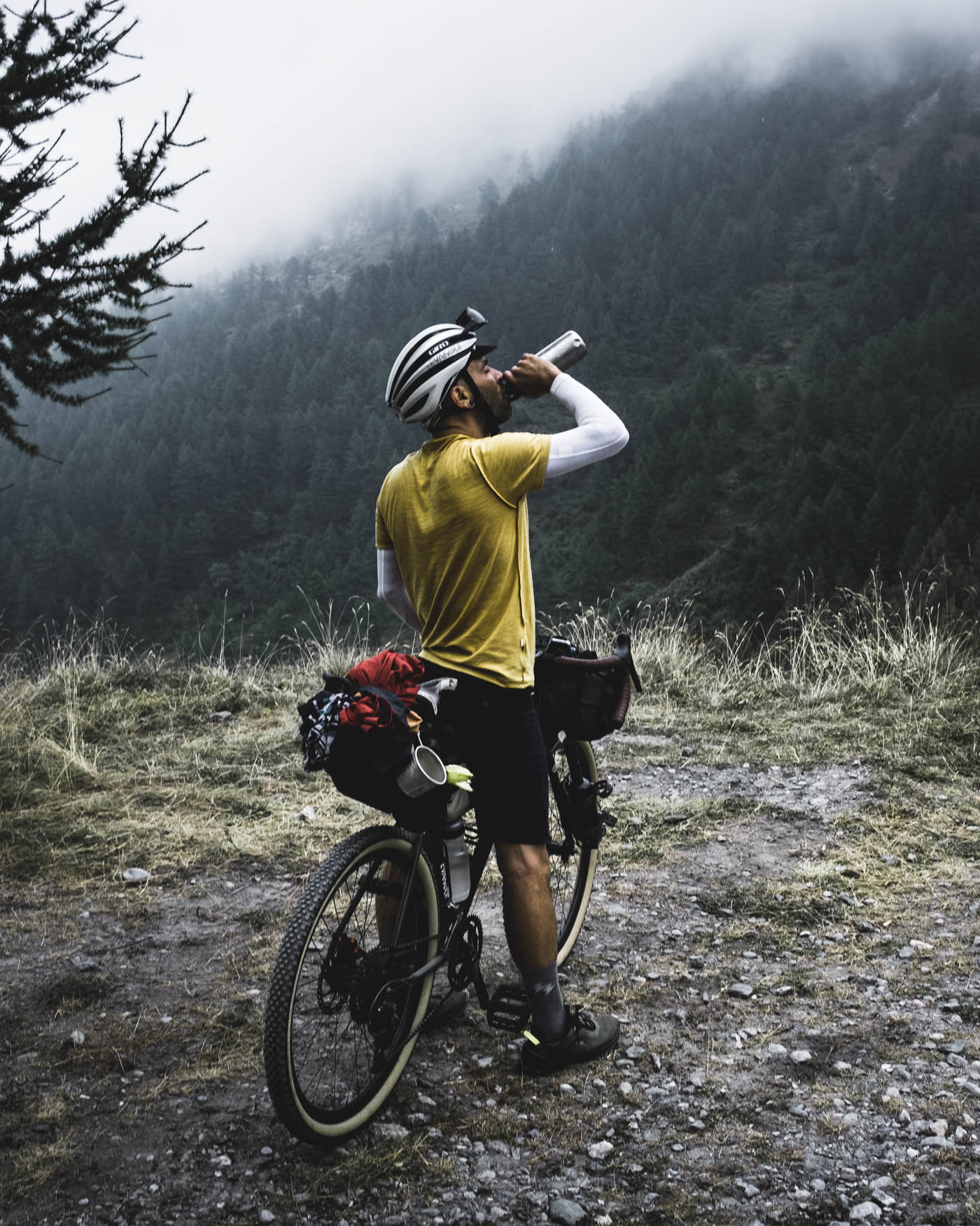
I have followed the Torino-Nice Rally since it was held for the first time in 2015. However, I didn’t feel ready to take part myself. But in 2021 I dared – and I’m happy I did.
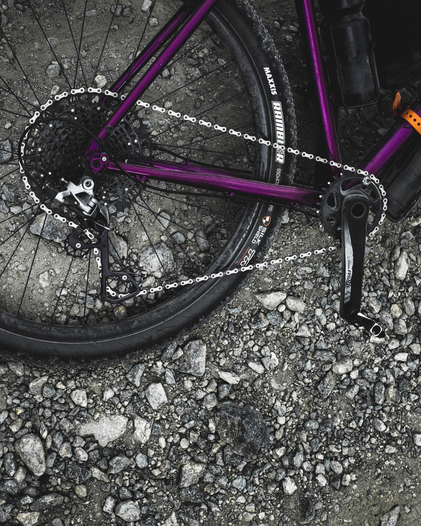
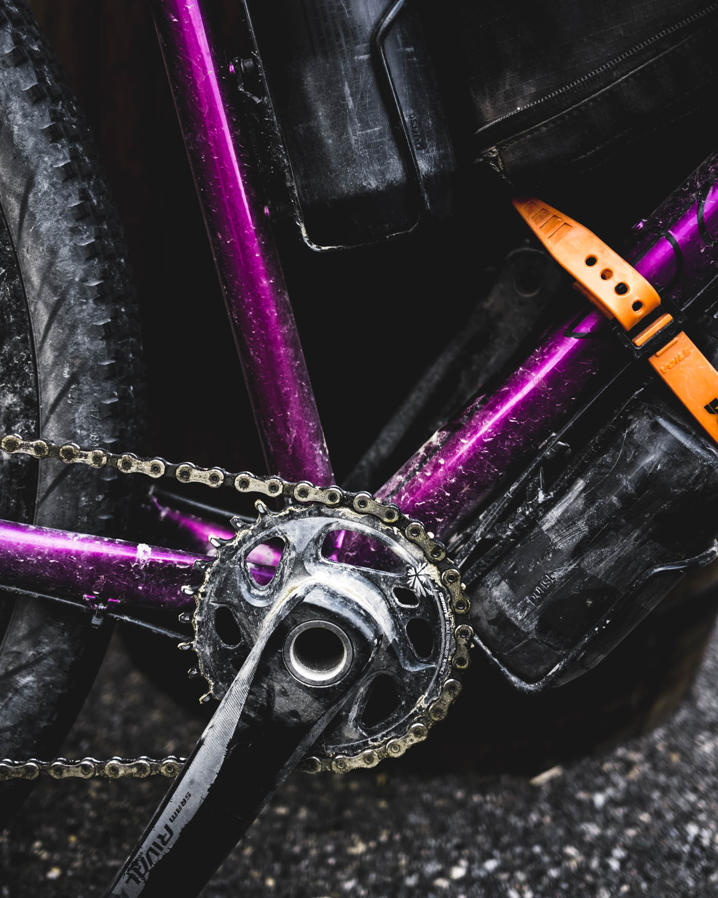
Words and photos by Markus Remscheid
Illustrations by Johannes Reinhart and Markus Remscheid
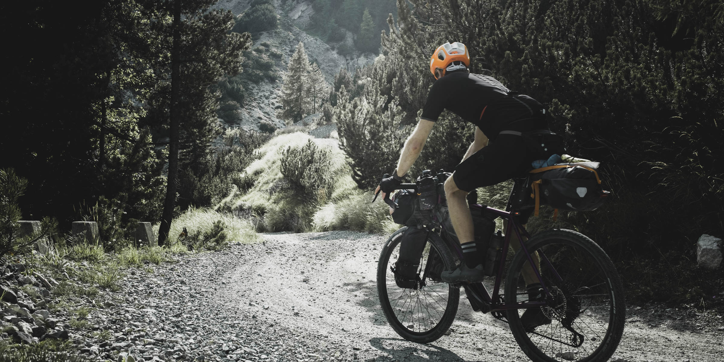
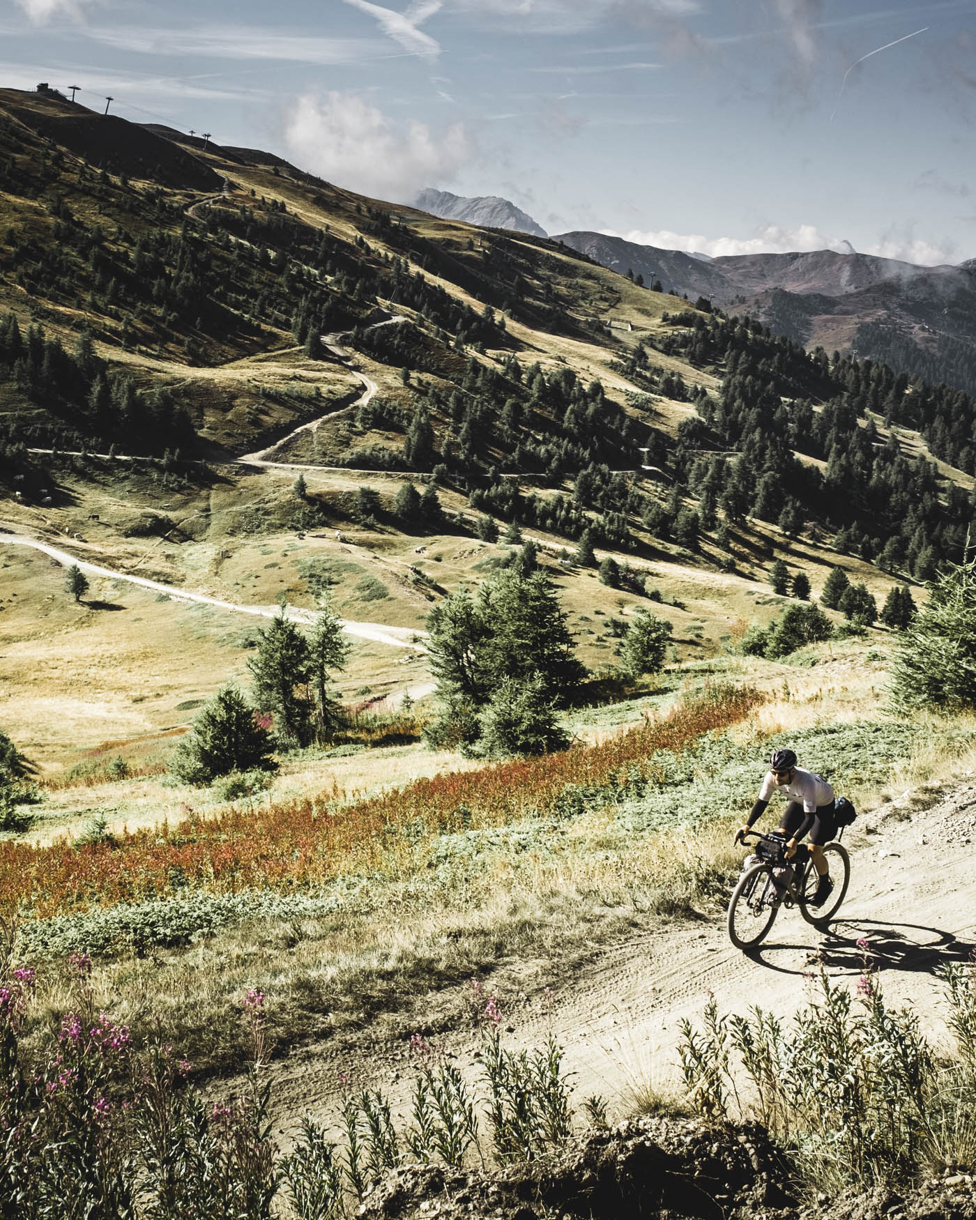
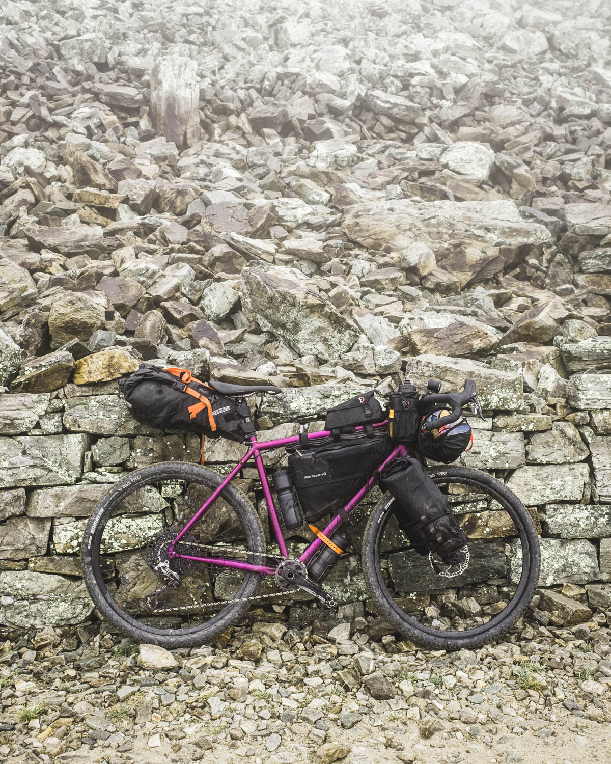
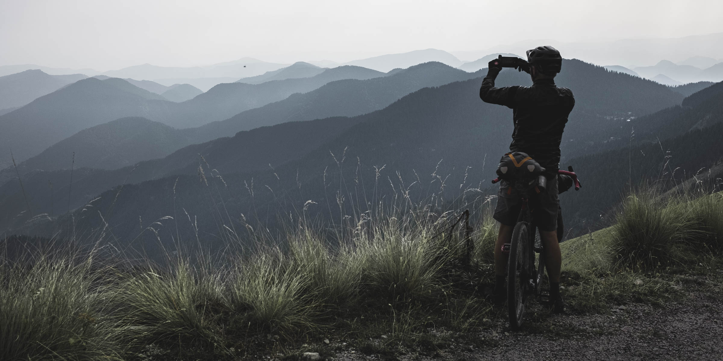
The Torino-Nice Rally is a 700 km self-supported bikepacking ride from Turin to Nice via the high altitude roads and stradas of the French-Italian border. The challenging route with more than 17,000 m of climbing, rewards with photogenic views each day. The following collection of photos wants to highlight the best of those views.
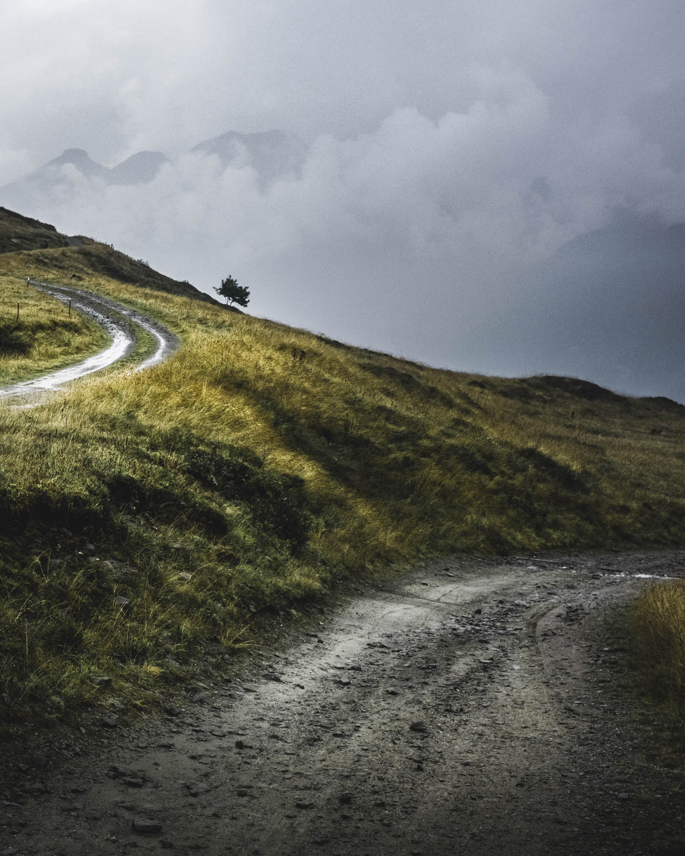
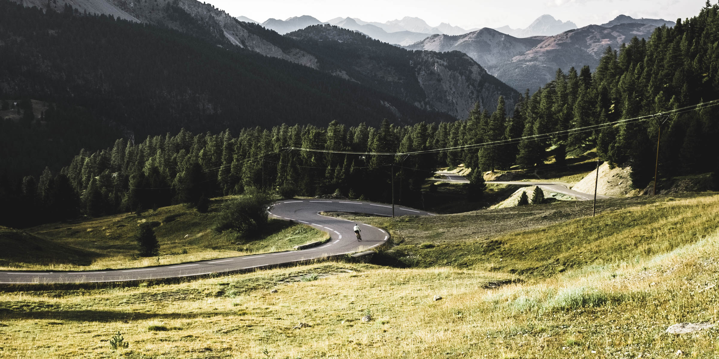
Day 1
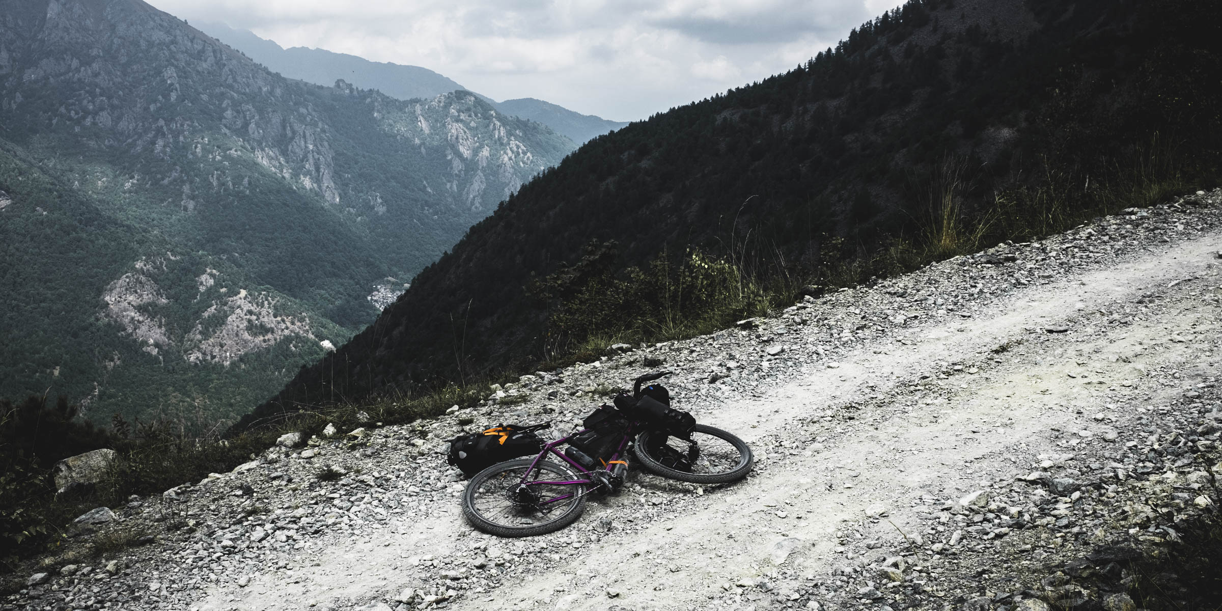
Torino to San Giorio di Susa
b 103 km a 1.720 m e 1.810 m j 2.093 m
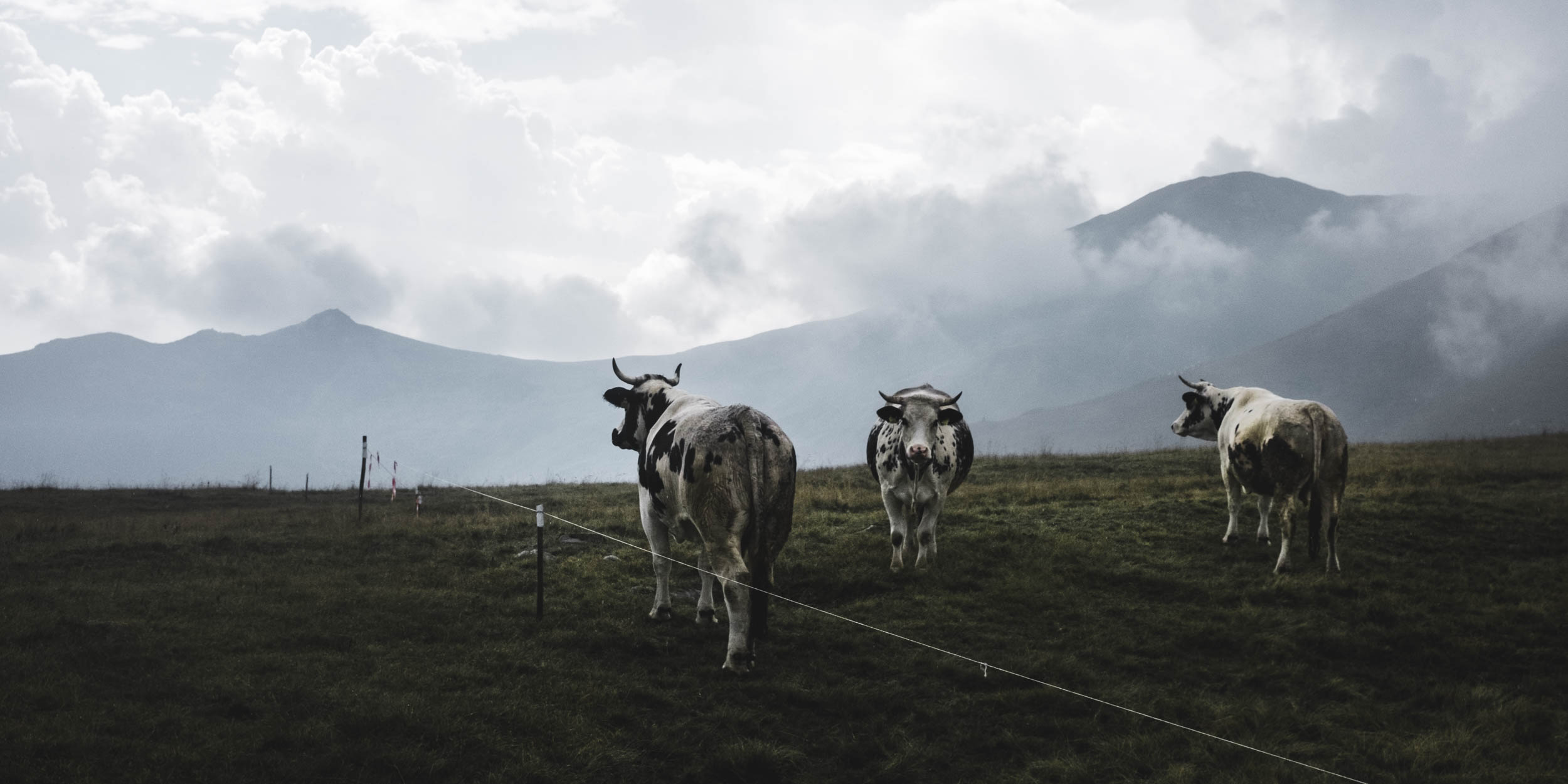
Highlights of the day: Riding out of Turin with a group of 20 riders O The very steep sections at Colle del Colombardo (1.889 m)
The cows are enjoying the view from the top of Colle del Colombardo
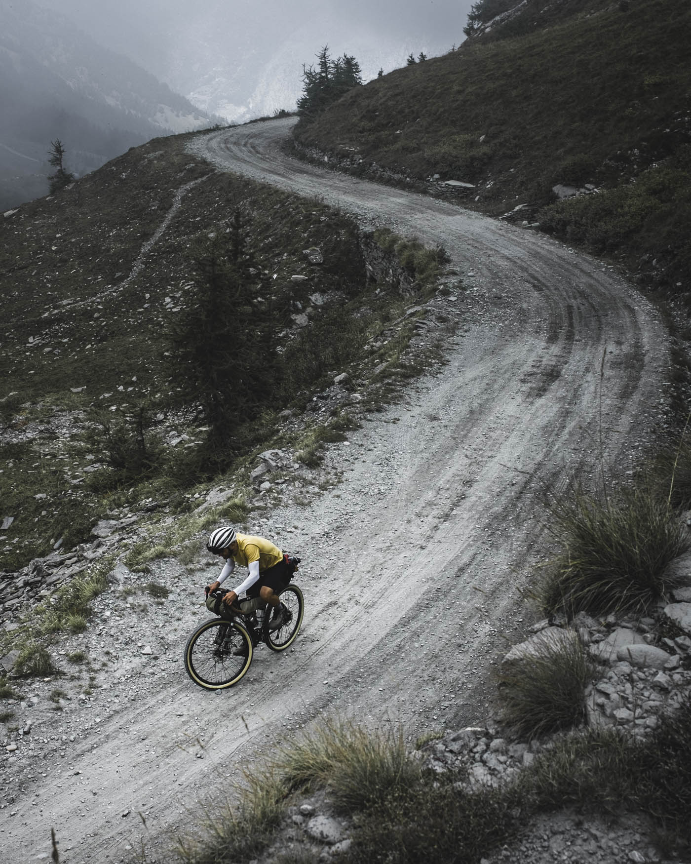
Day 2
San Giorio di Susa to Rifugio Casa Assietta
b 44 km a 2.210 m e 310 m j 2.537 m
Highlights of the day: Colle delle Finestre (2.178 m) which gains 1.700 m height over 18 km O Strada dell’ Assietta an Italian military route over 120 years old
Cyril Diabolo from evanoui.com climbing Colle delle Finestre
A short stretch downhill on Strada dell’ Assietta
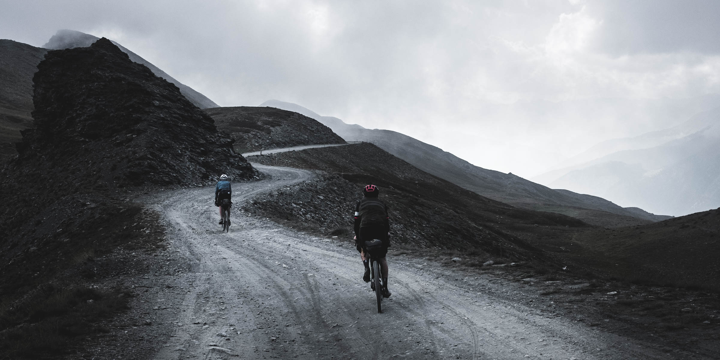
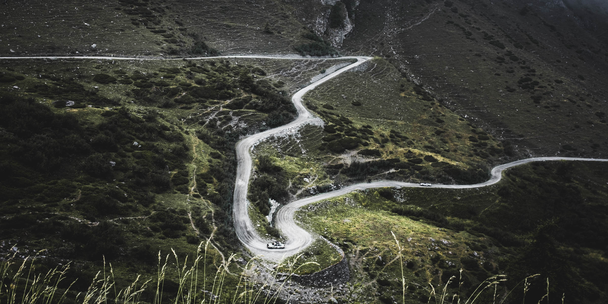
Day 3
Rifugio Casa Assietta to Arvieux
b 87 km a 2.210 m e 3.130 m j 2.510 m
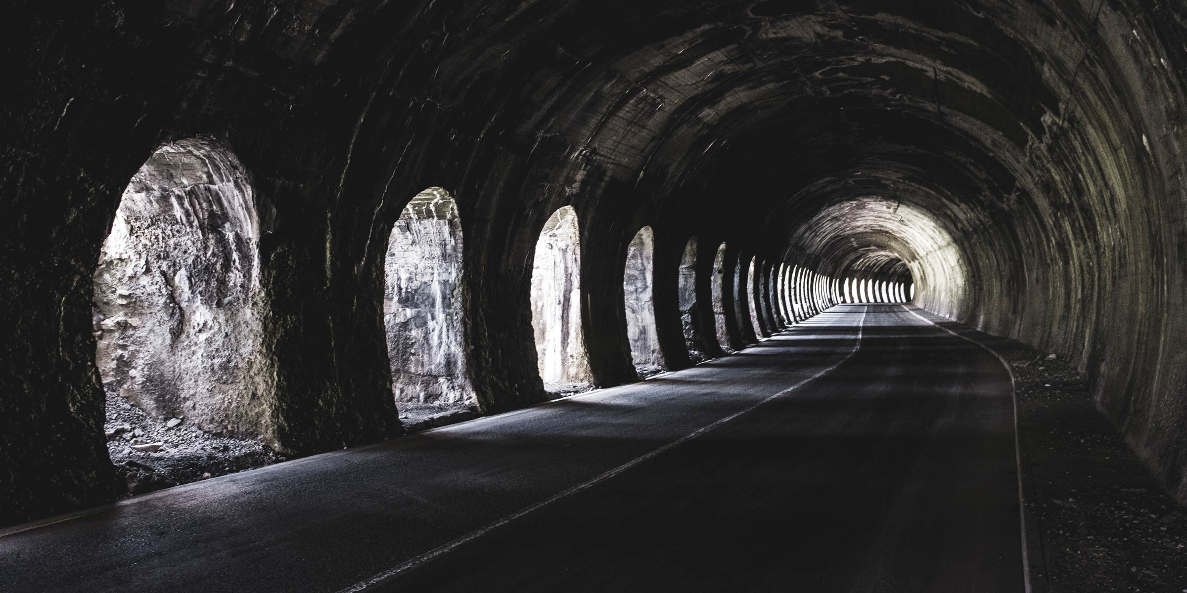
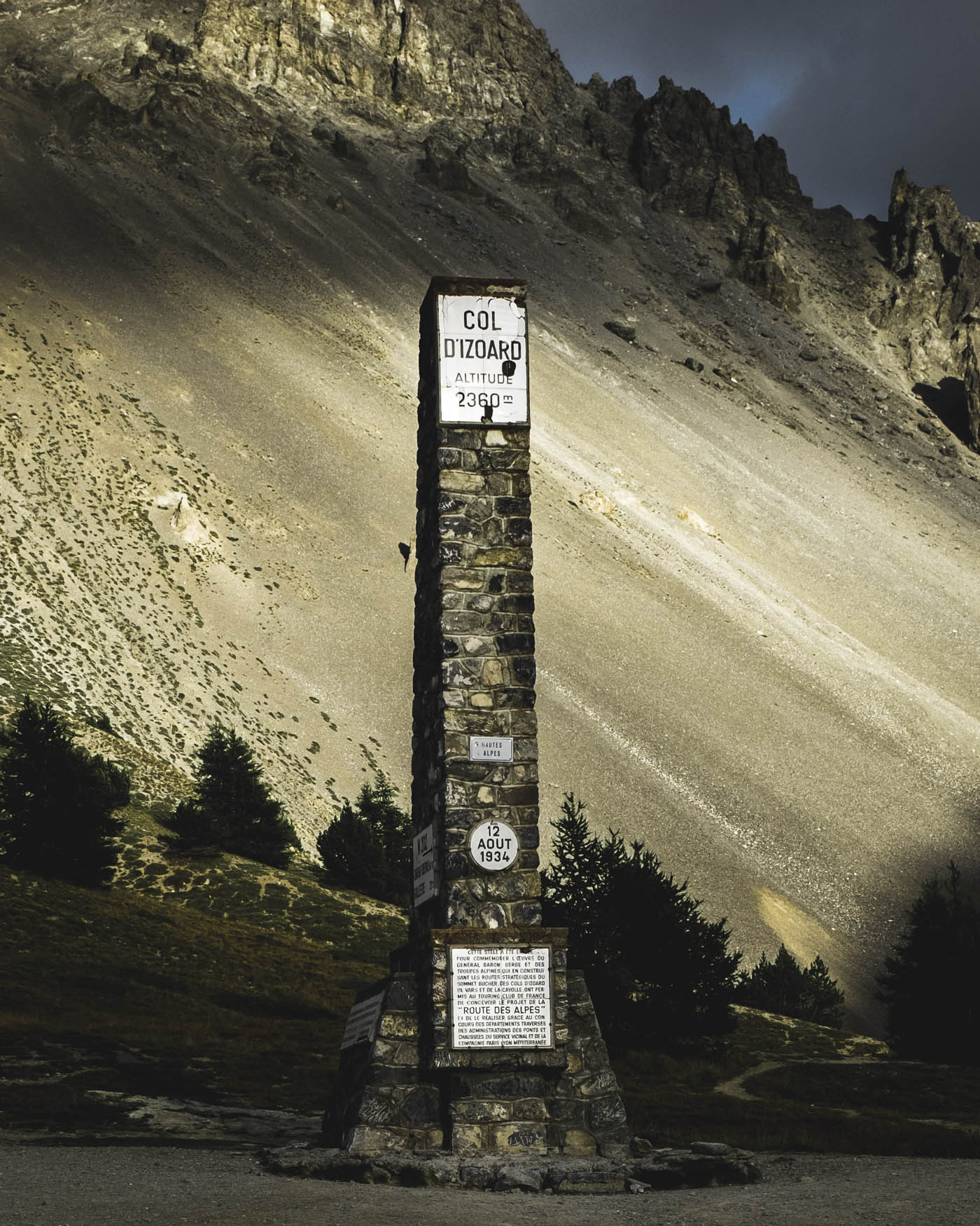
Highlights of the day: Strada dell’ Assietta in the morning light O Tunnel at the Col de Montgenèvre (1.860 m) O Col d’Izoard (2.360 m) in the evening light
Tunnel at the Col de Montgenèvre
The Col d’Izoard has been part of the Tour de France many times
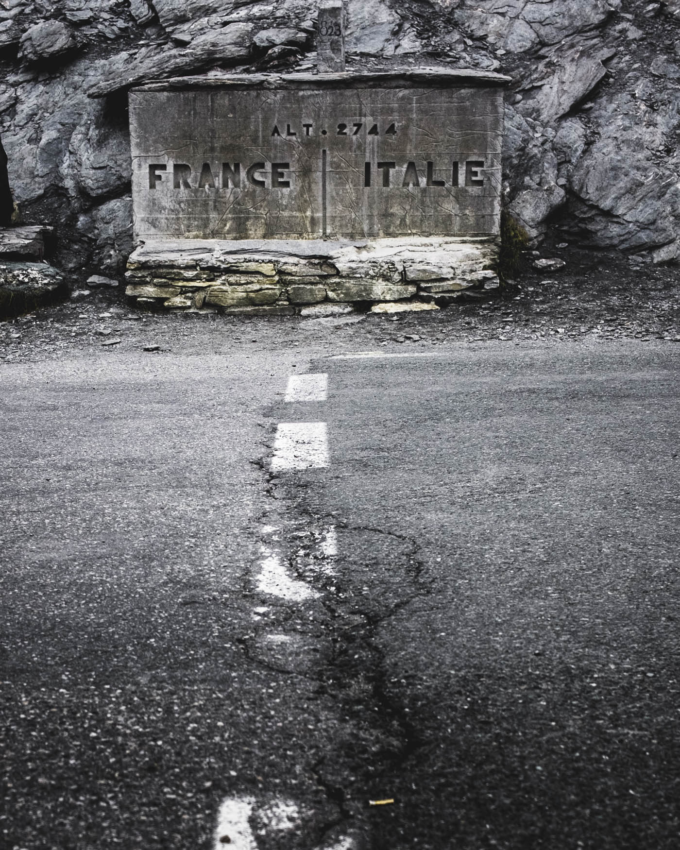
Day 4
Arvieux to Colle Sampeyre
b 72 km a 2.390 m e 2.060 m j 2.744 m
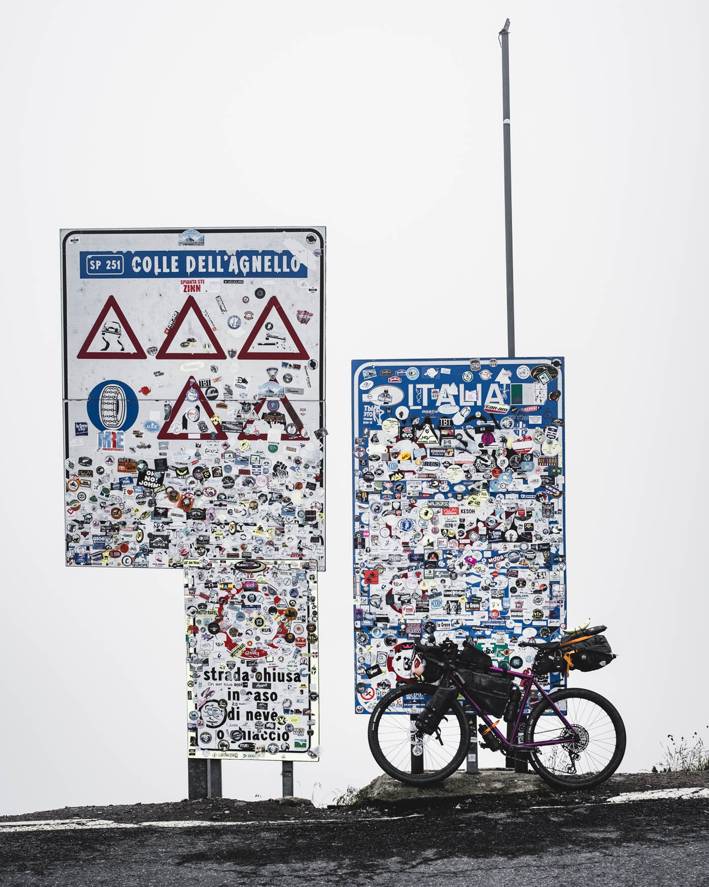
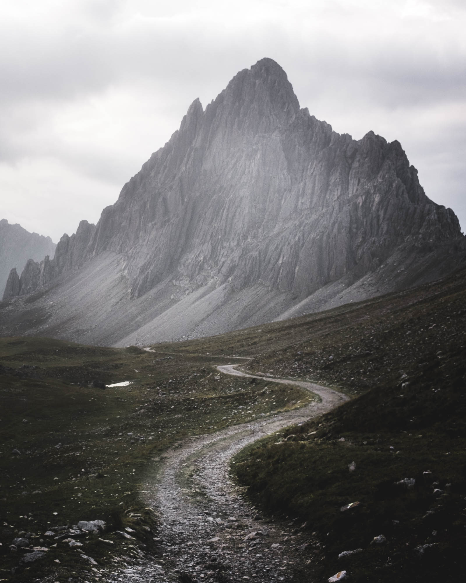
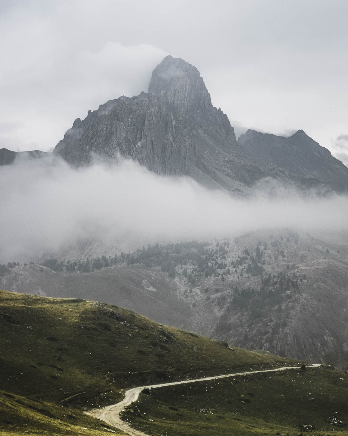
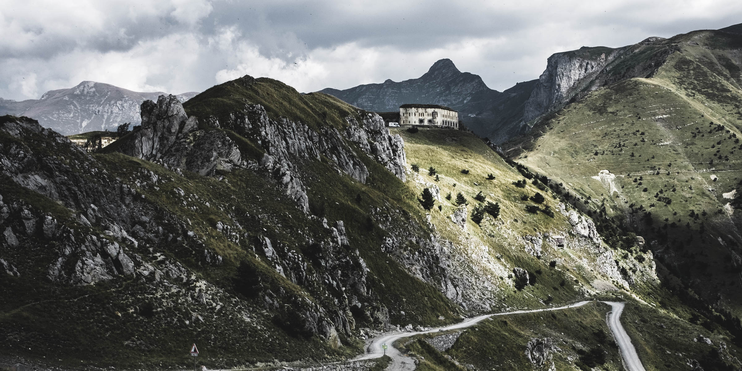
Highlights of the day: Col Agnel (2.744 m) the high point of the route O Colle di Sampeyre in the dusk (2.284 m)
Col Agnel marks the boundary between France and Italy and thus one of the many border crossings on this ride
A flat spot on the way to Colle di Sampeyre made for a good place to pitch the tent
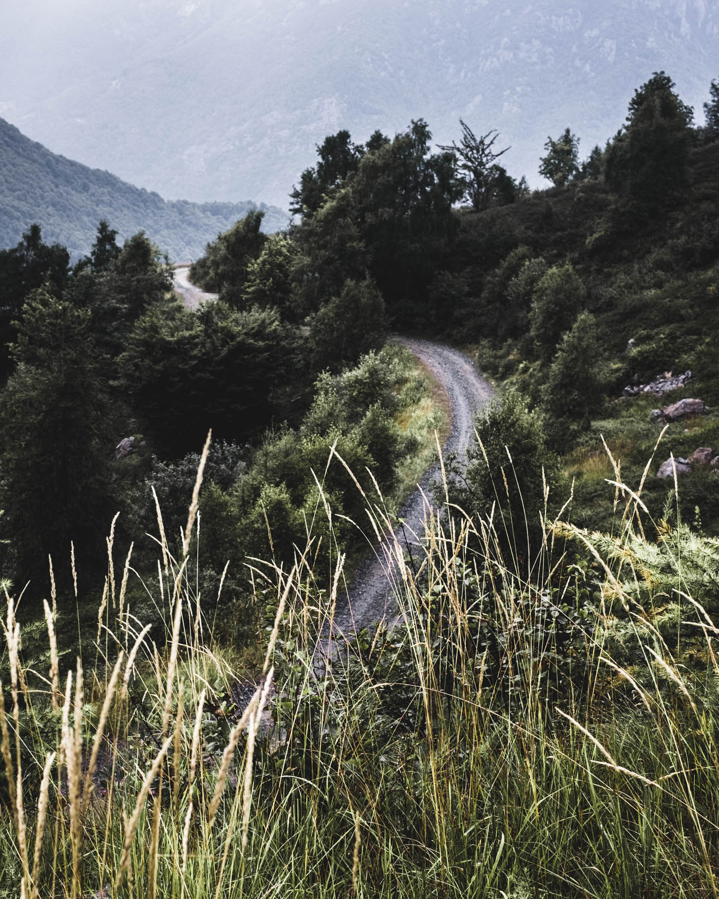
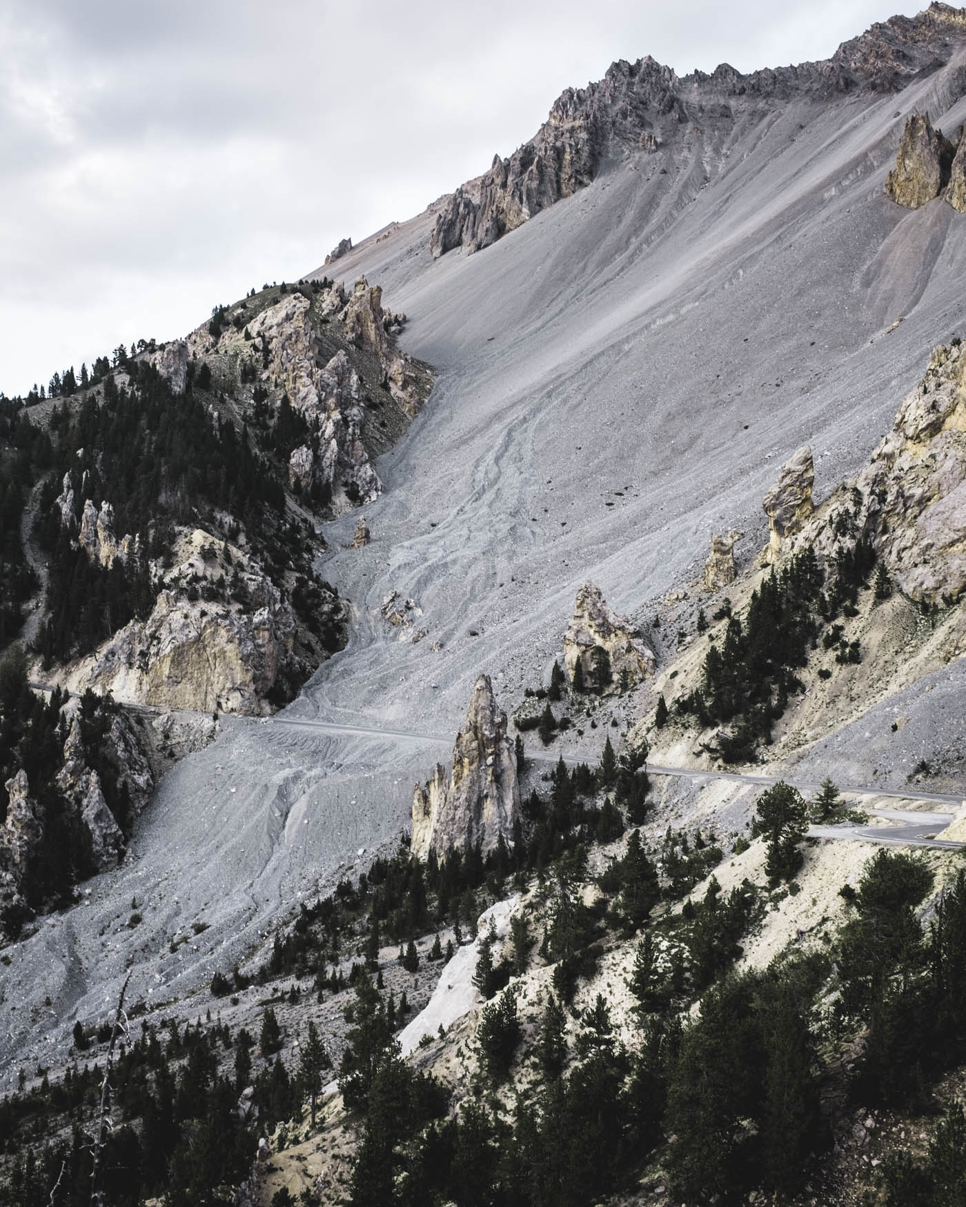
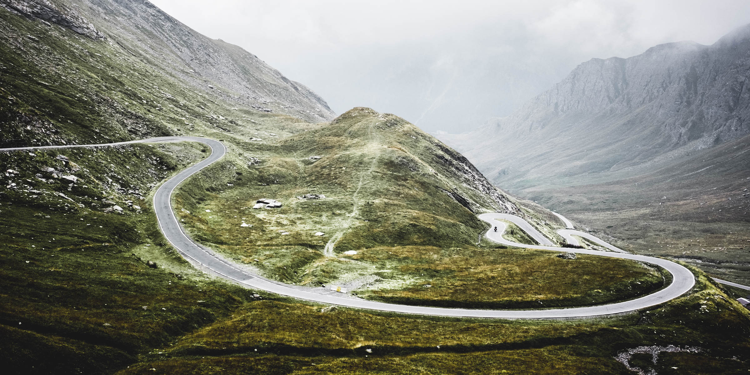
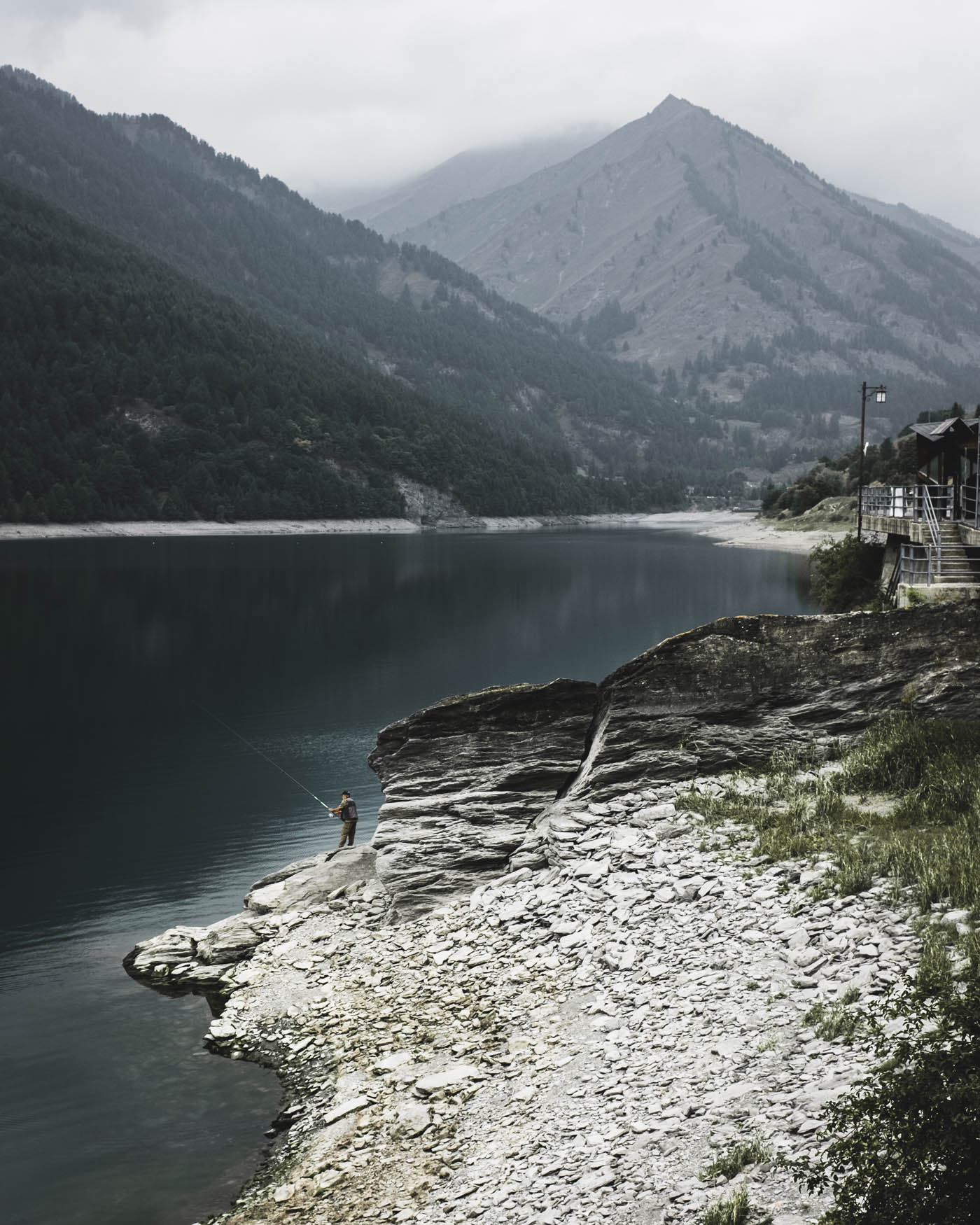
Day 5
Colle Sampeyre to Demonte
b 103 km a 2.300 m e 3.520 m j 2.520 m
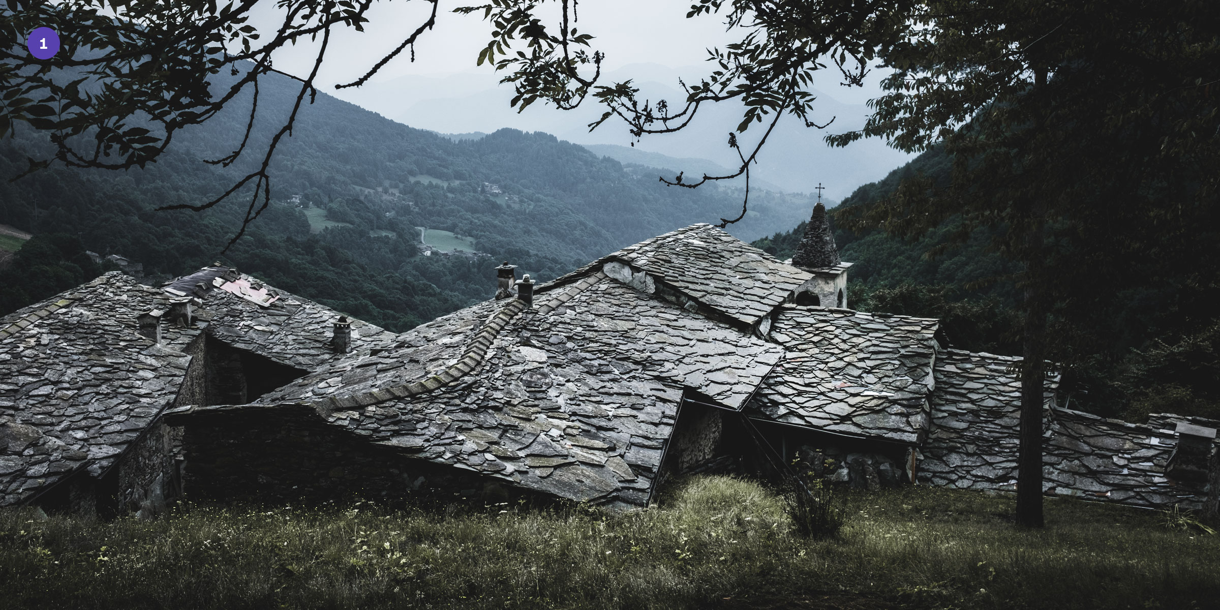
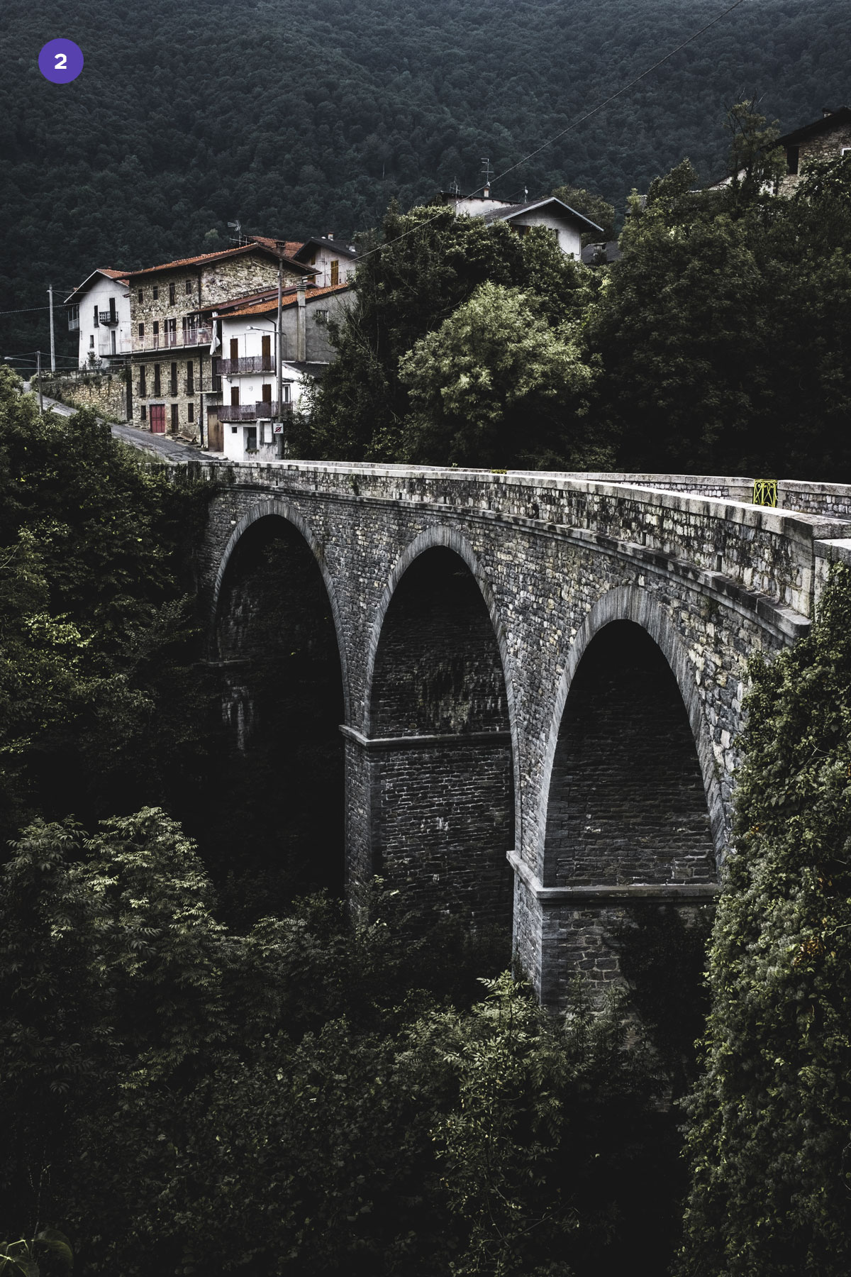
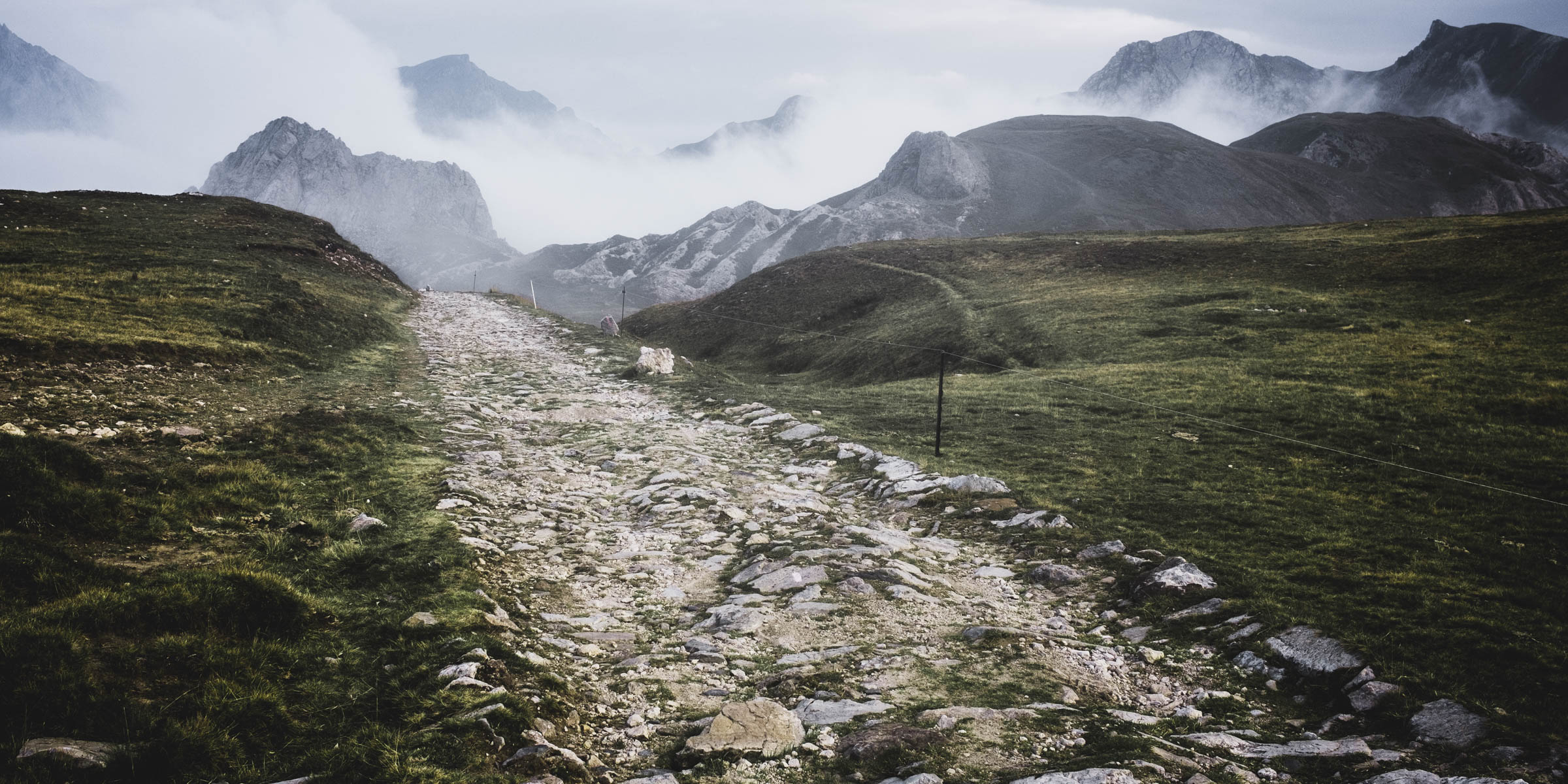
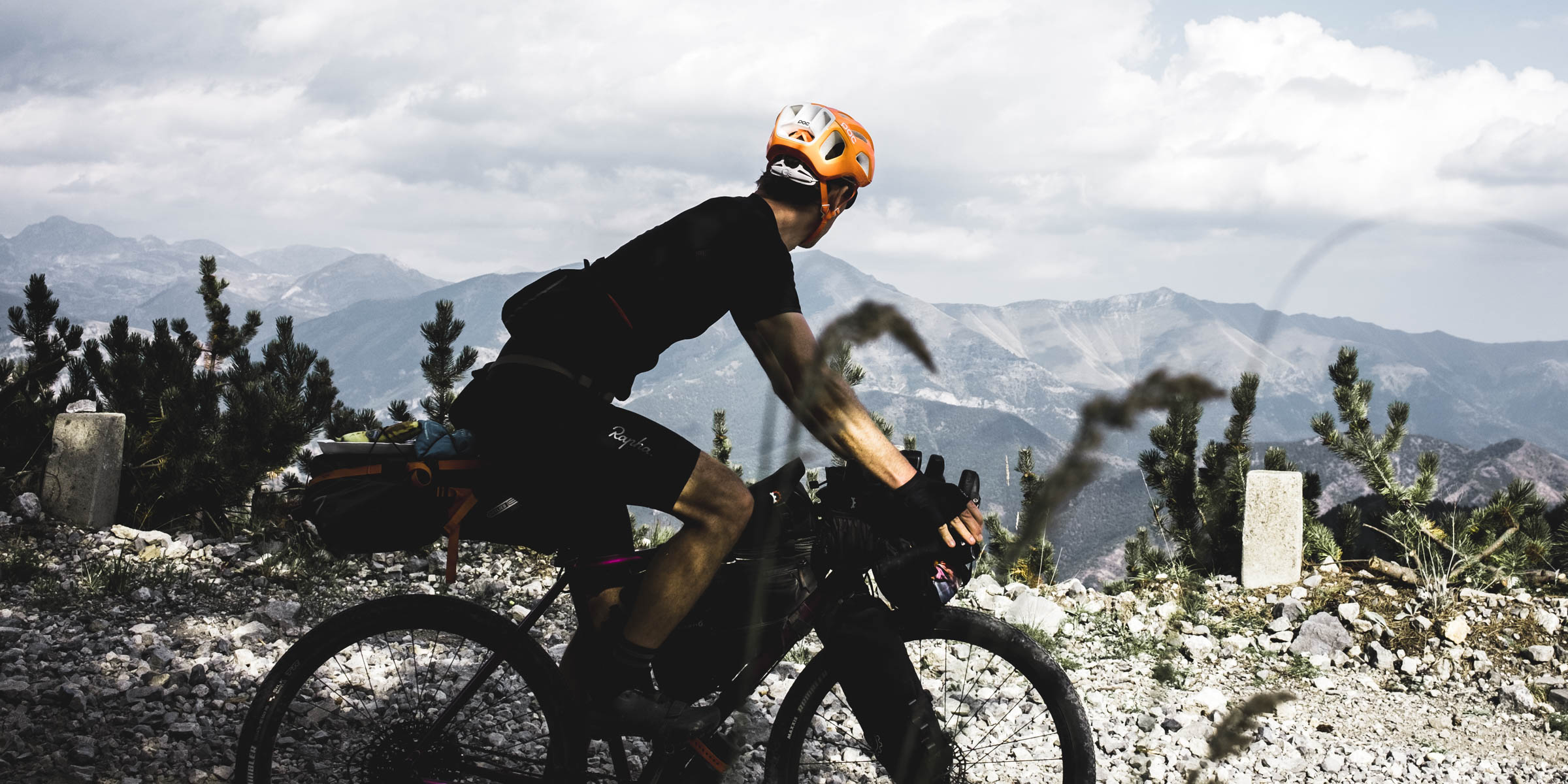
Highlights of the day: The rough downhill sections of Strada Cannoni O Valle Maira O The one kilometer long and 15 % steep stretch at Colle del Preit O Strada Gardetta (“Little Peru”) a high-altitude section of military road
Although it was going downhill progress was slow on the stony Strada Cannoni
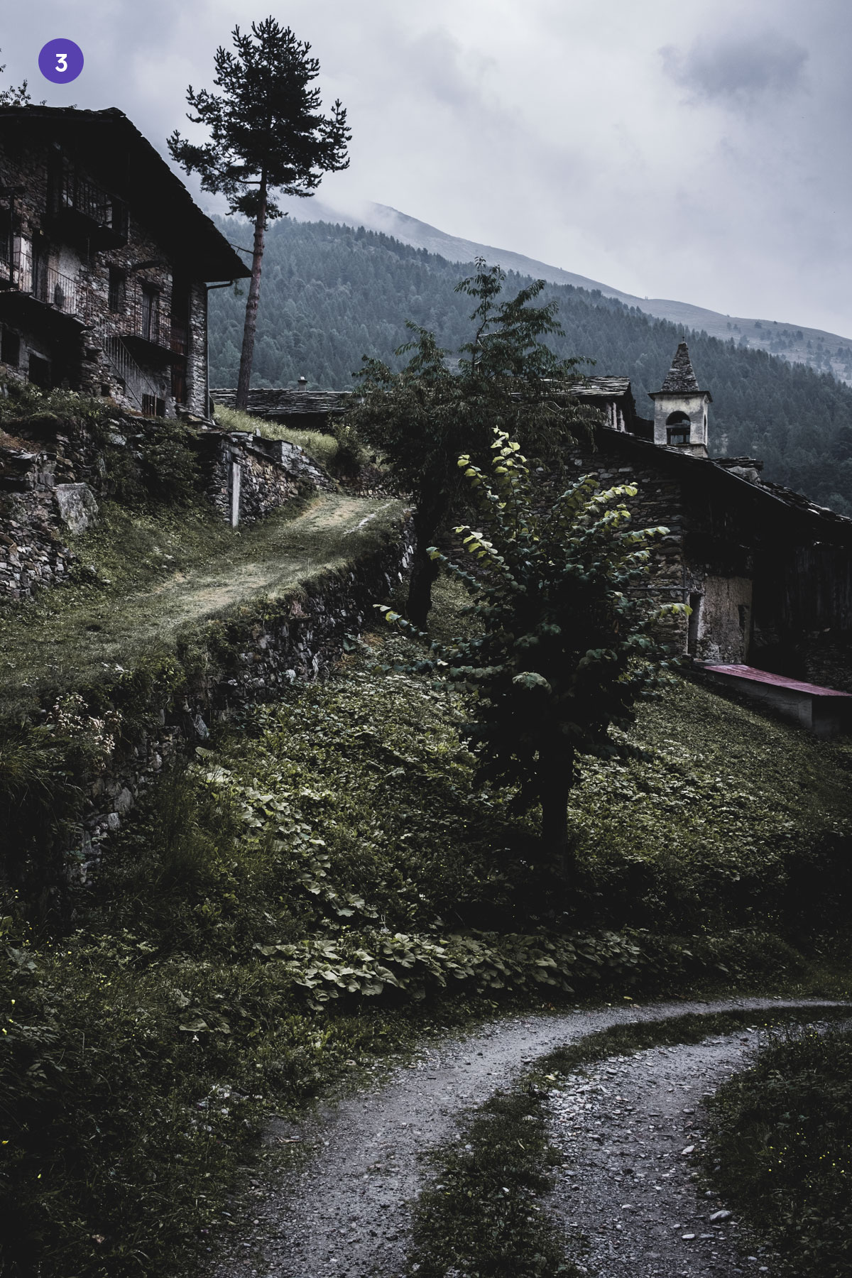
The abandoned village Borgata Chesta (1 & 3) and San Damiano Macra (2) in the Valle Maira
“
Of all the paths you take in life, make sure a few of them are dirt.

John Muir
1838–1914
The Strada Gardetta (nicknamed “Little Peru”) is an old military road that offers a view of the mountains of the surrounding high valley. The landscape is one of the highlights of the entire tour
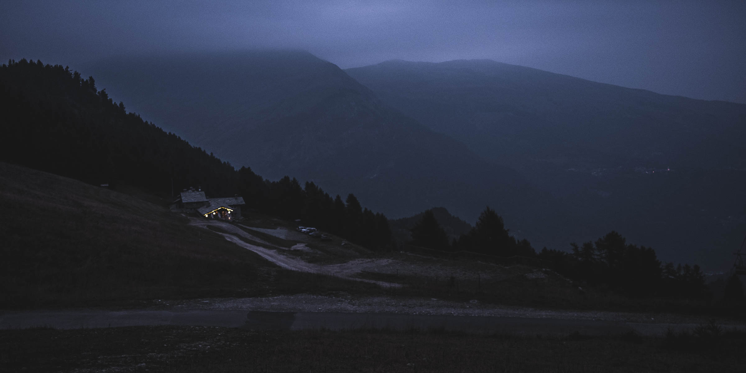
Day 6
Demonte to Tende
b 85 km a 1.790 m e 1.690 m j 2.020 m
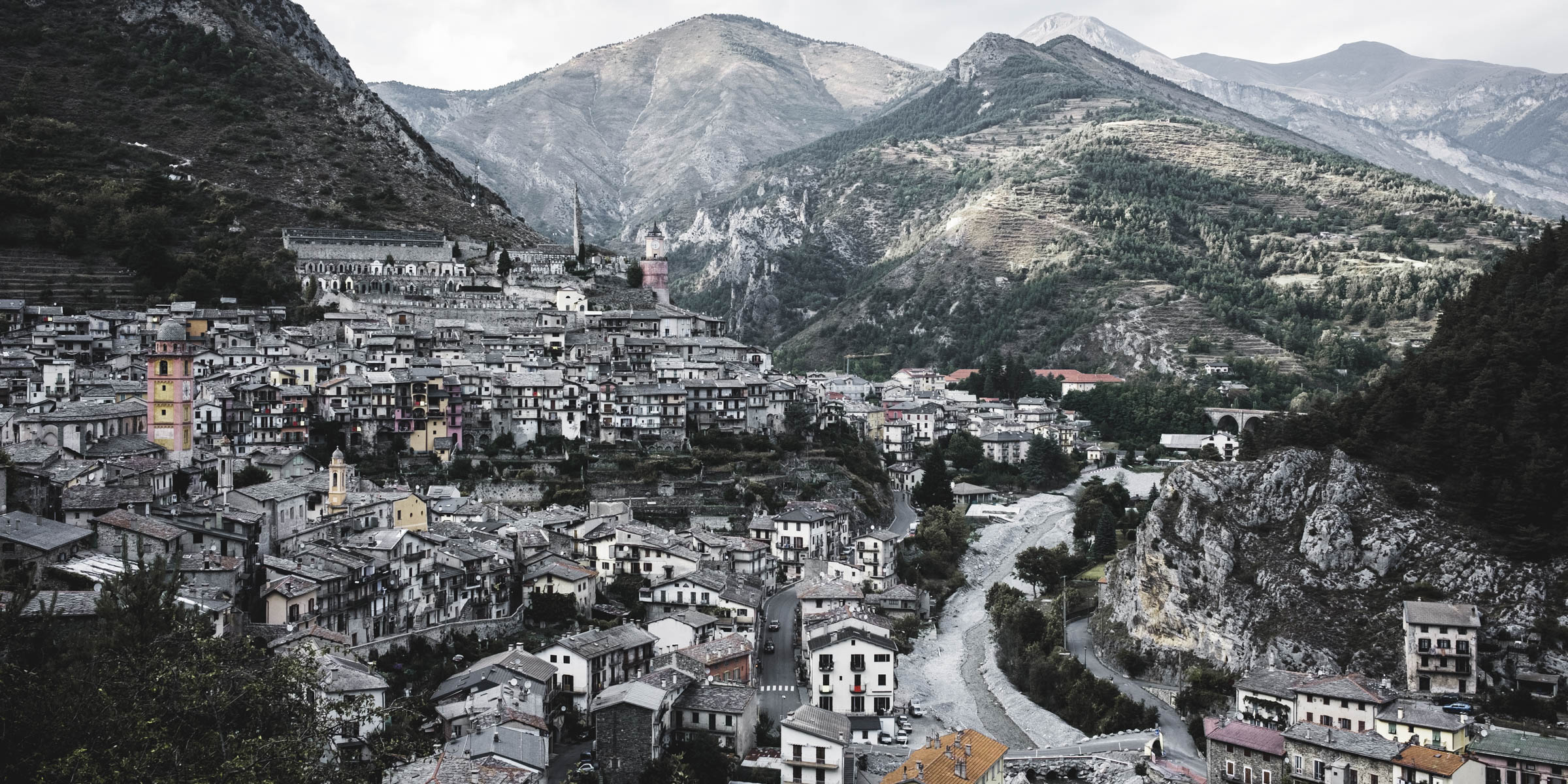
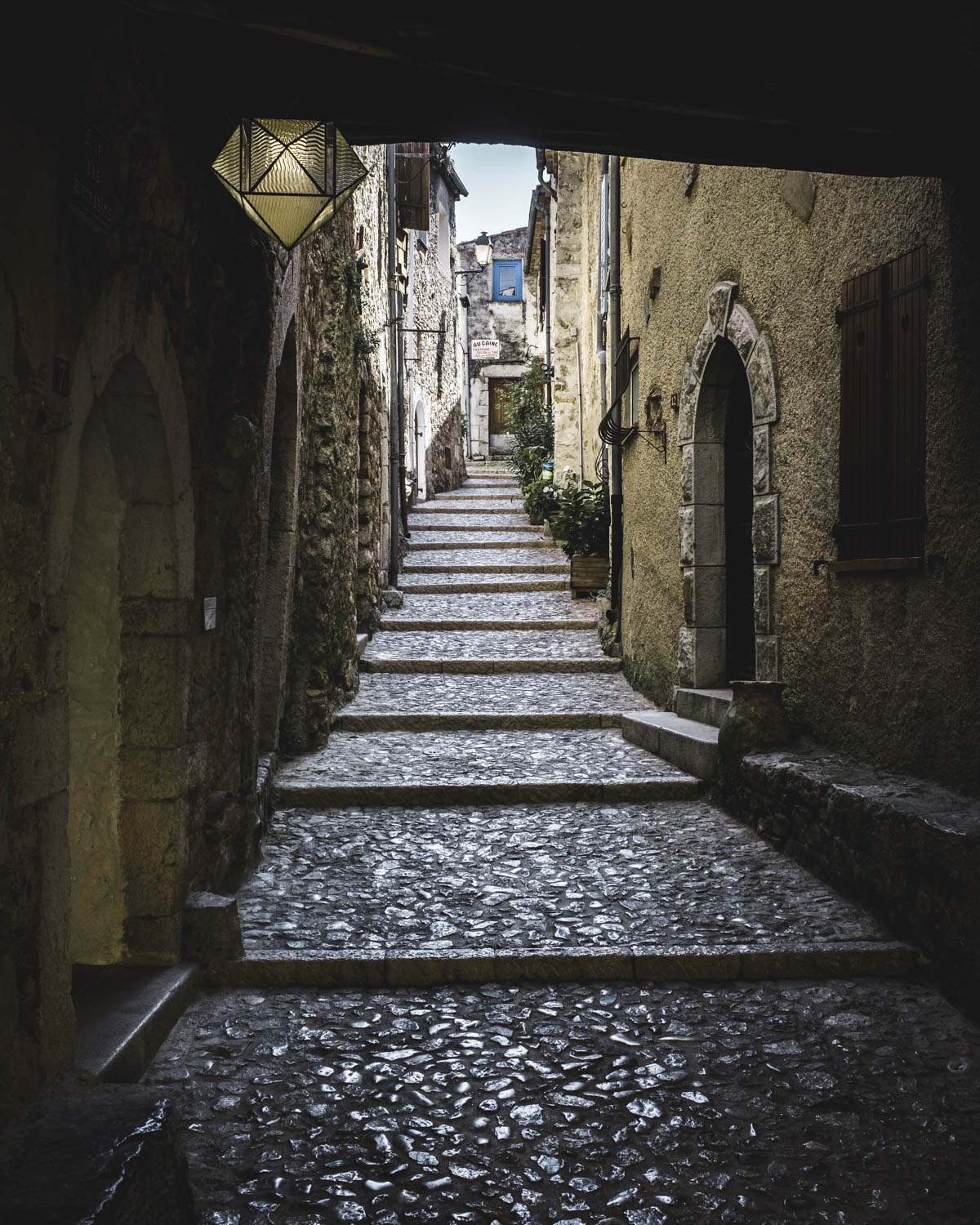
Highlights of the day: Col de Tende (1.870 m) O Tende, the largest town in the upper Roya Valley
Downhill to Tende, a charming town located in the upper Roya Valley
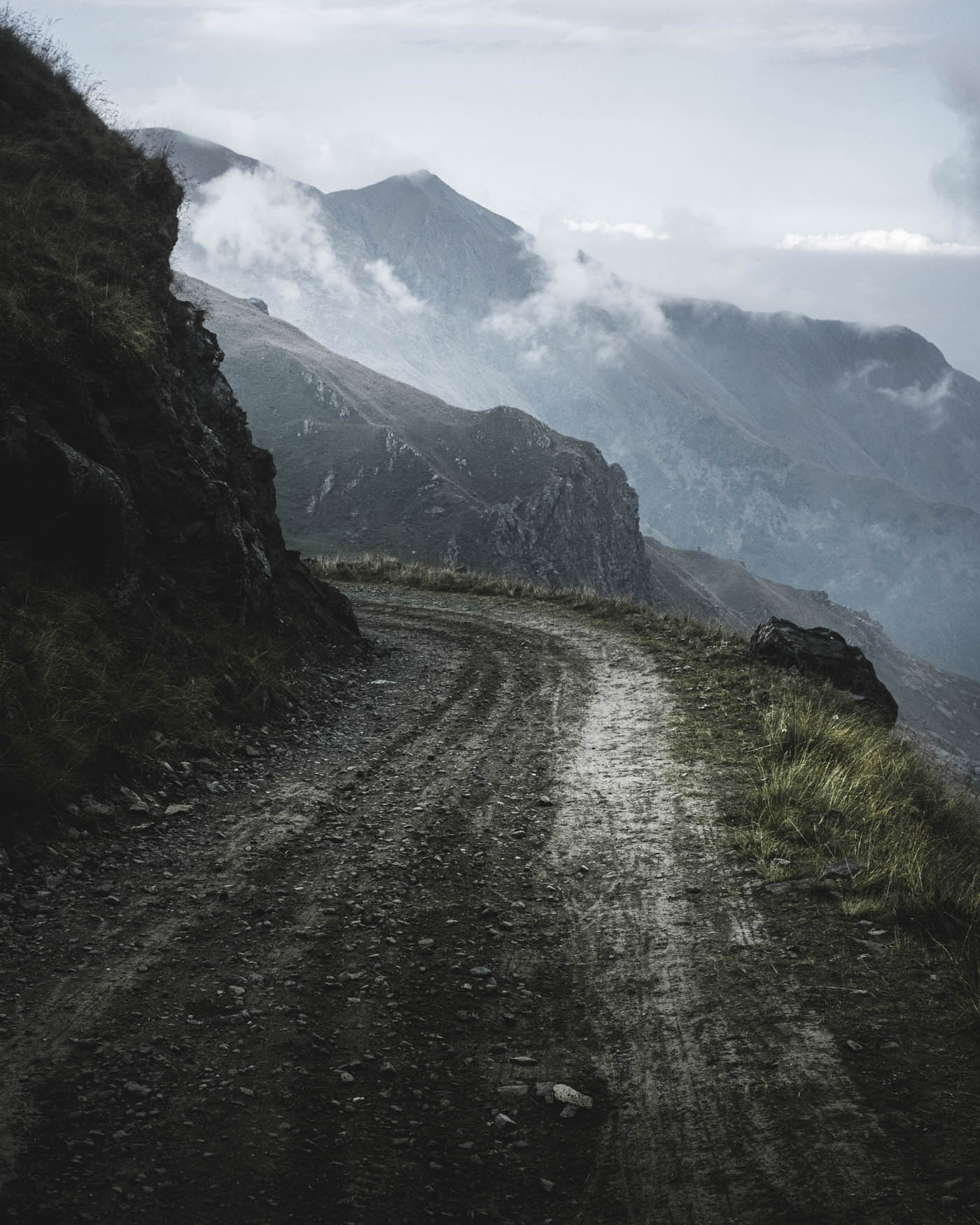
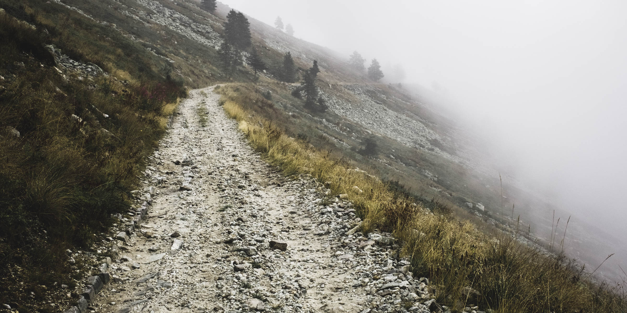
Day 7
Tende to Sospel
b 72 km a 1.630 m e 1.830 m j 2.020 m
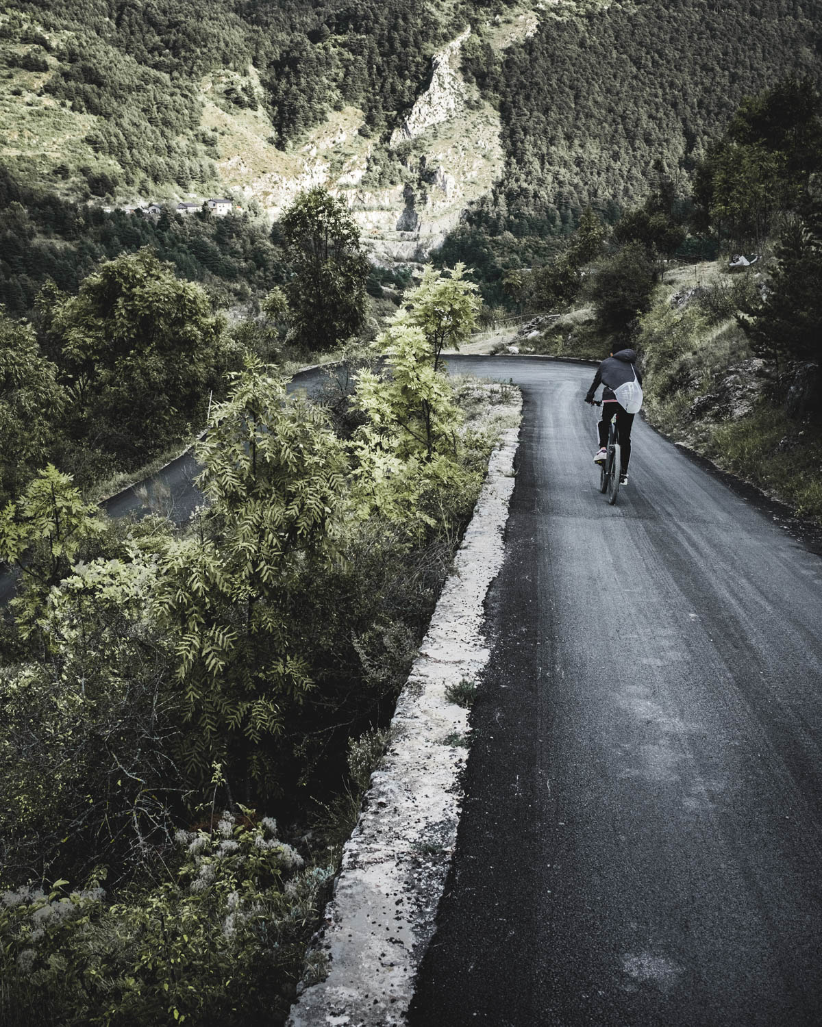
Highlights of the day: Roya Valley O The long climb up to Col de Turini (1.607 m)
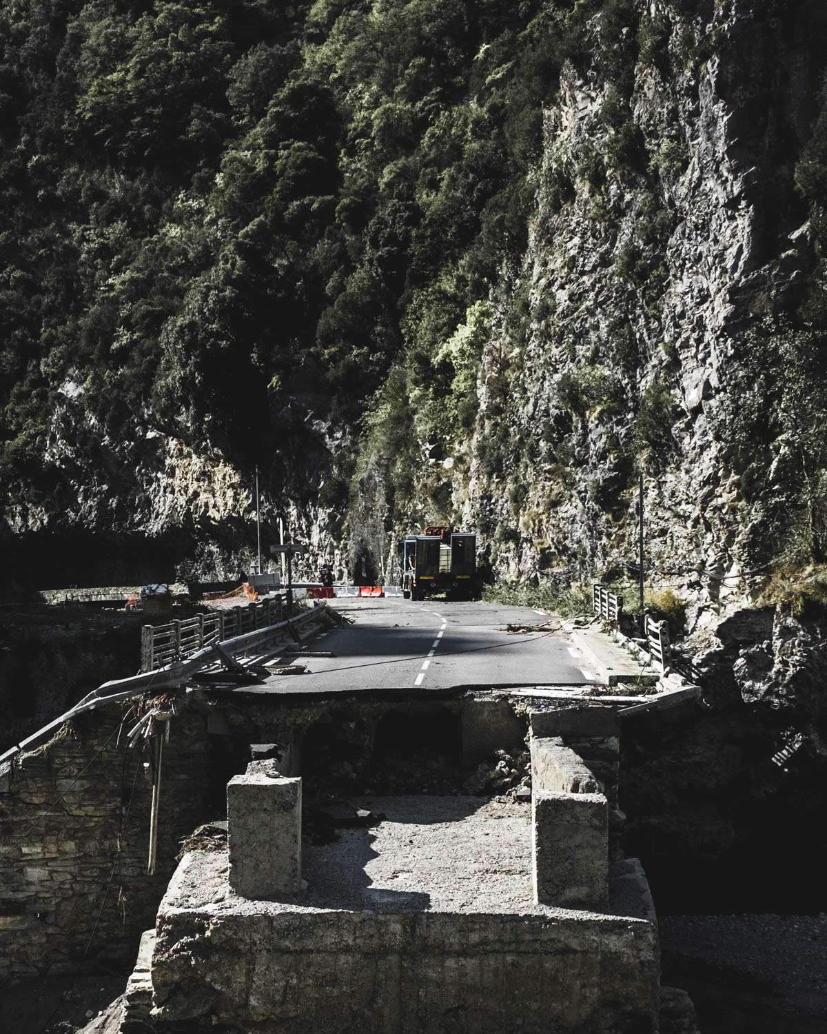
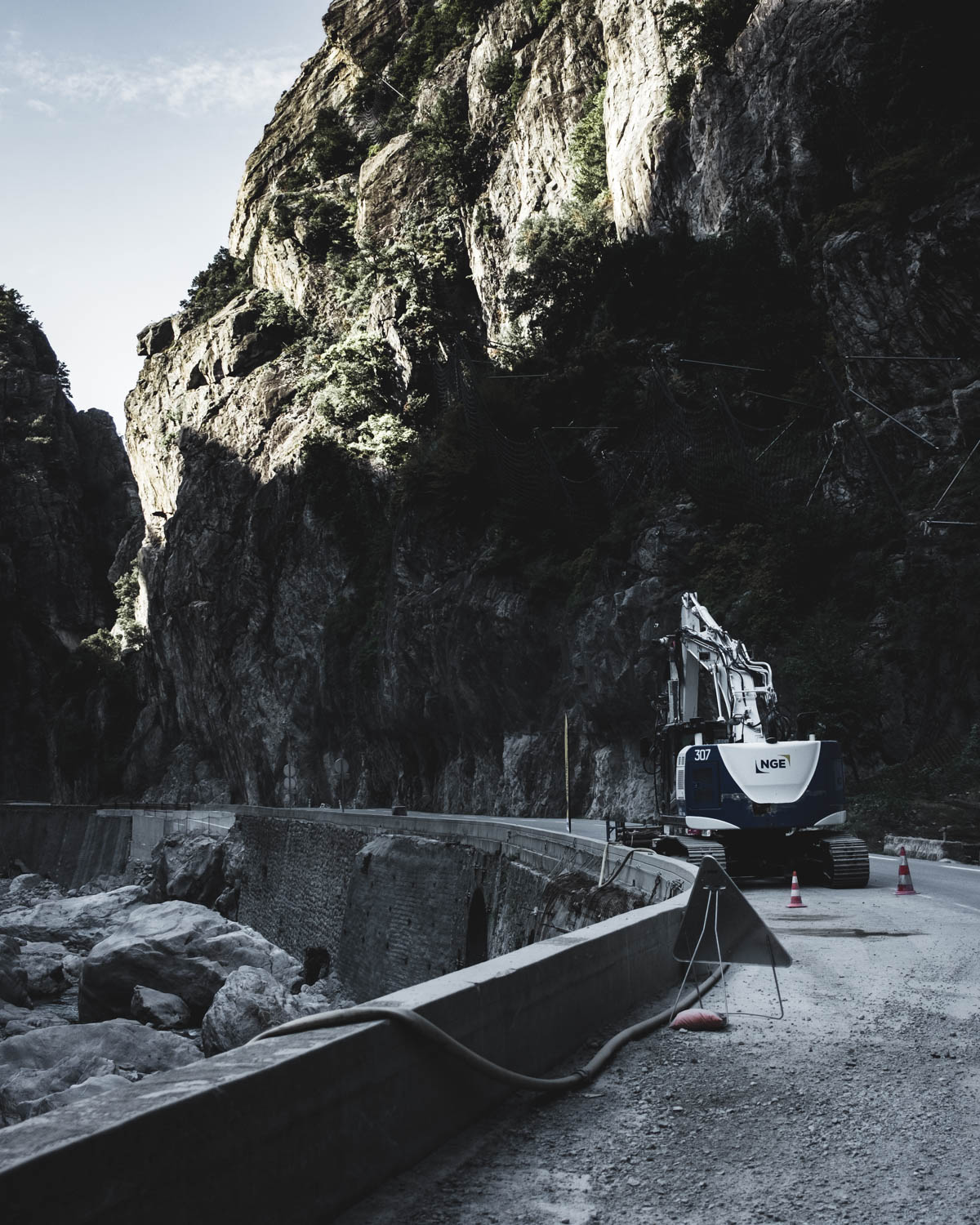
The destruction caused by storm Alex in 2020 were still clearly visible in the Roya Valley
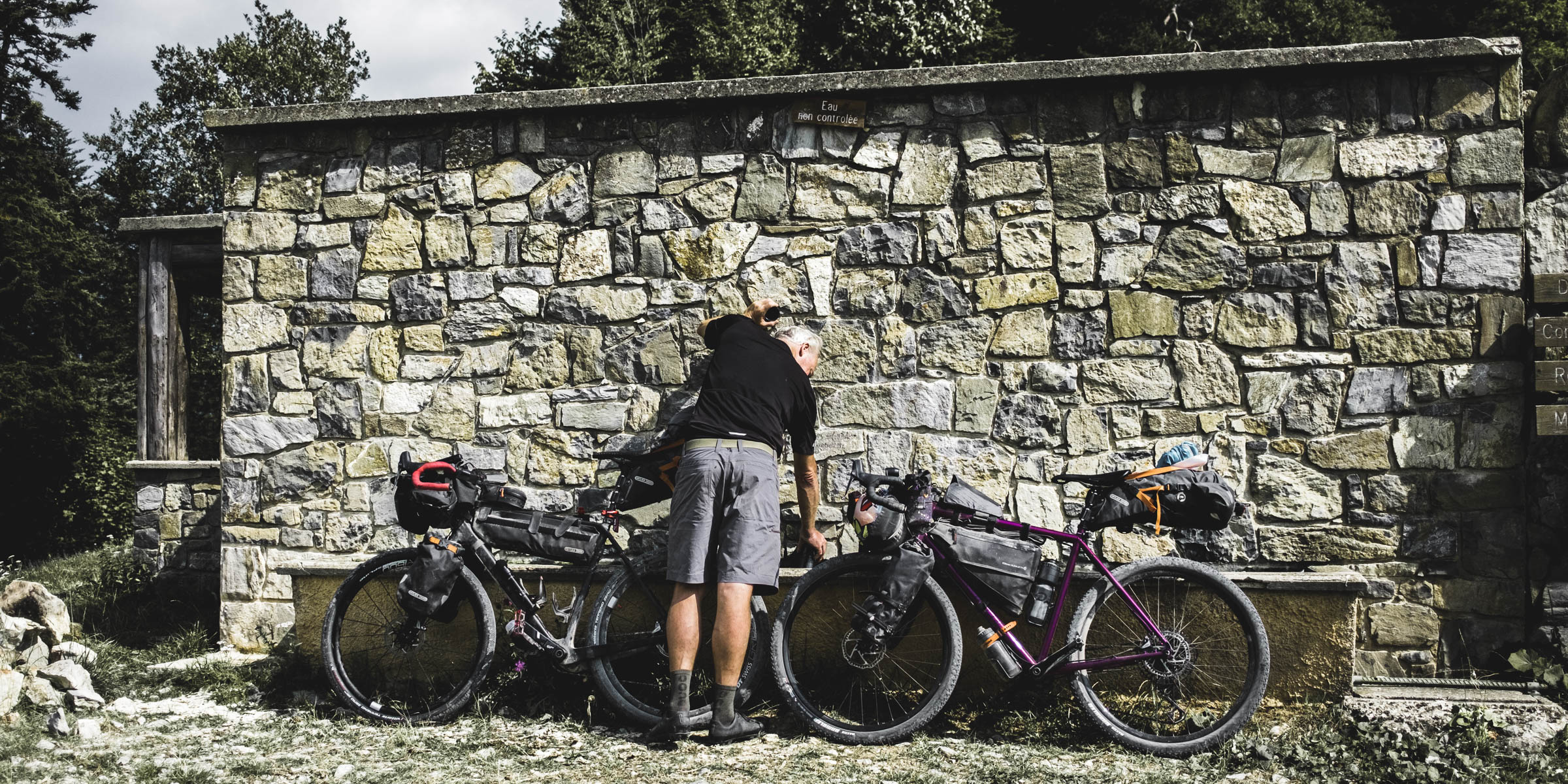
Getting to Col de Turini: the landscape has now become significantly more Mediterranean. But that also makes it much drier and there are no longer fountains on every corner
View from Col de Turini, the last big climb before the Côte d’Azur is reached
Day 8
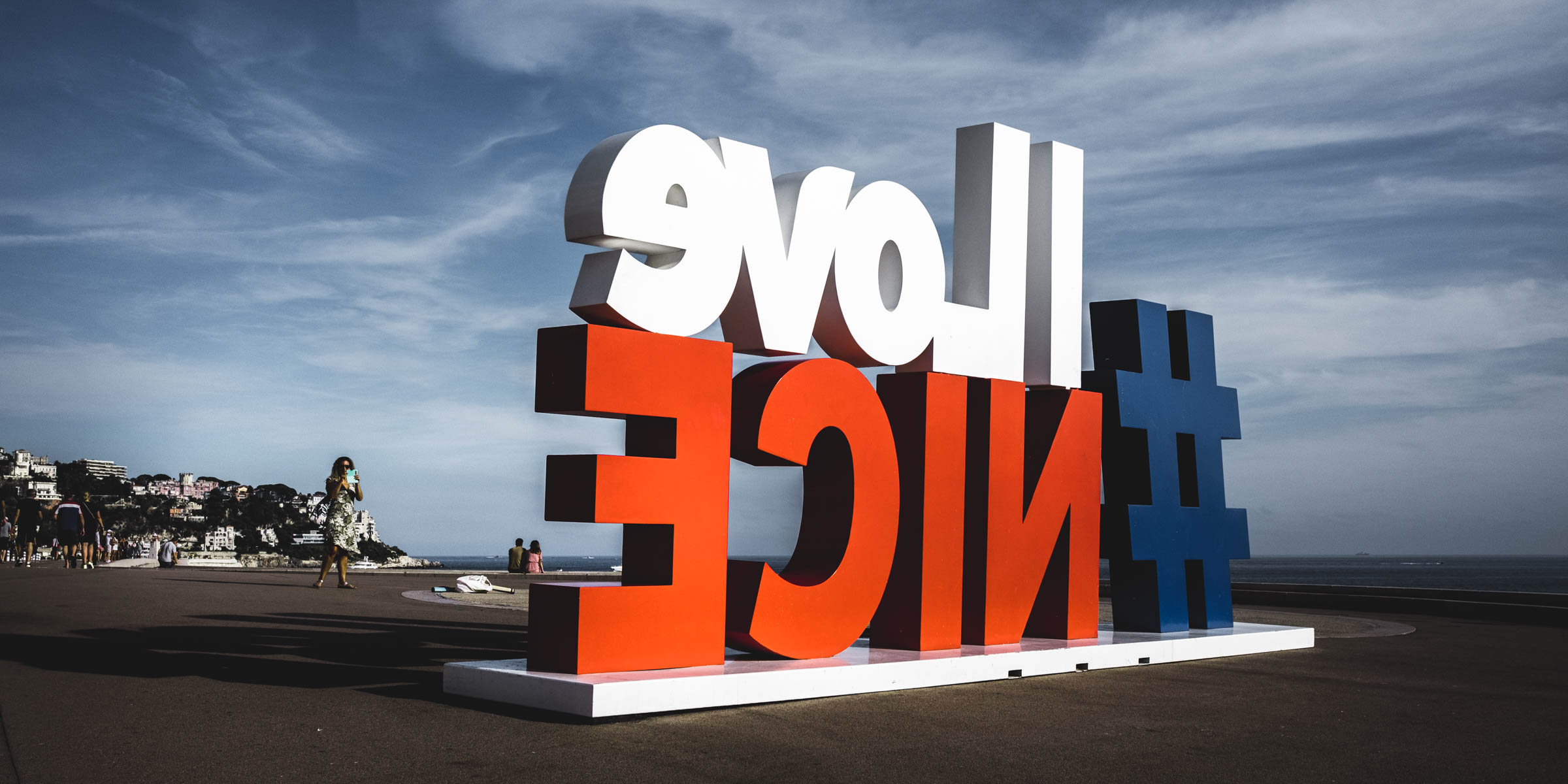
Sospel to Nice
b 77 km a 1.180 m e 1.640 m j 1.100 m
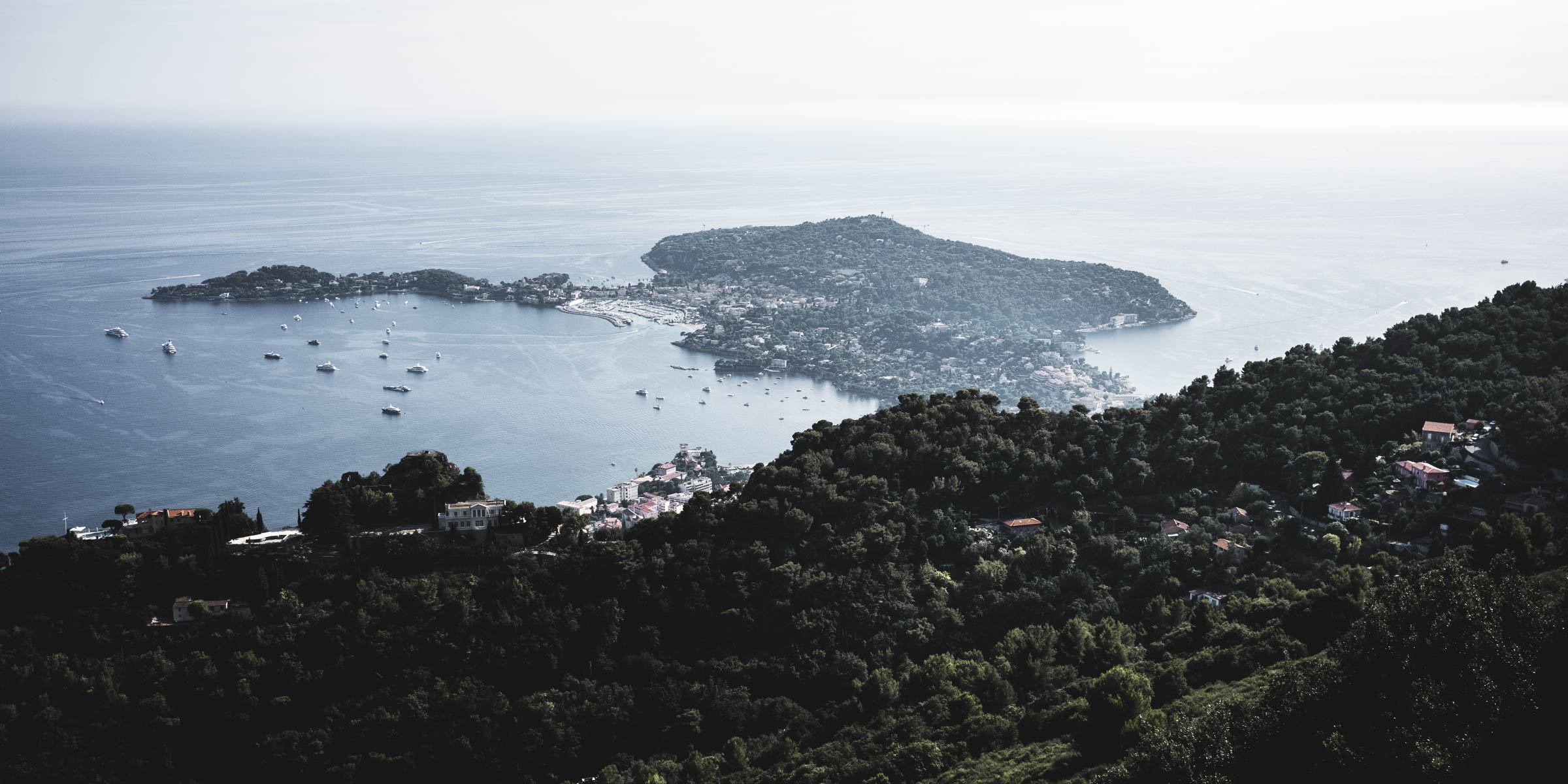
Highlights of the day: Col de Braus O Sainte-Agnès with a village center from the 11th century O Views of the Côte d’Azur O Nice
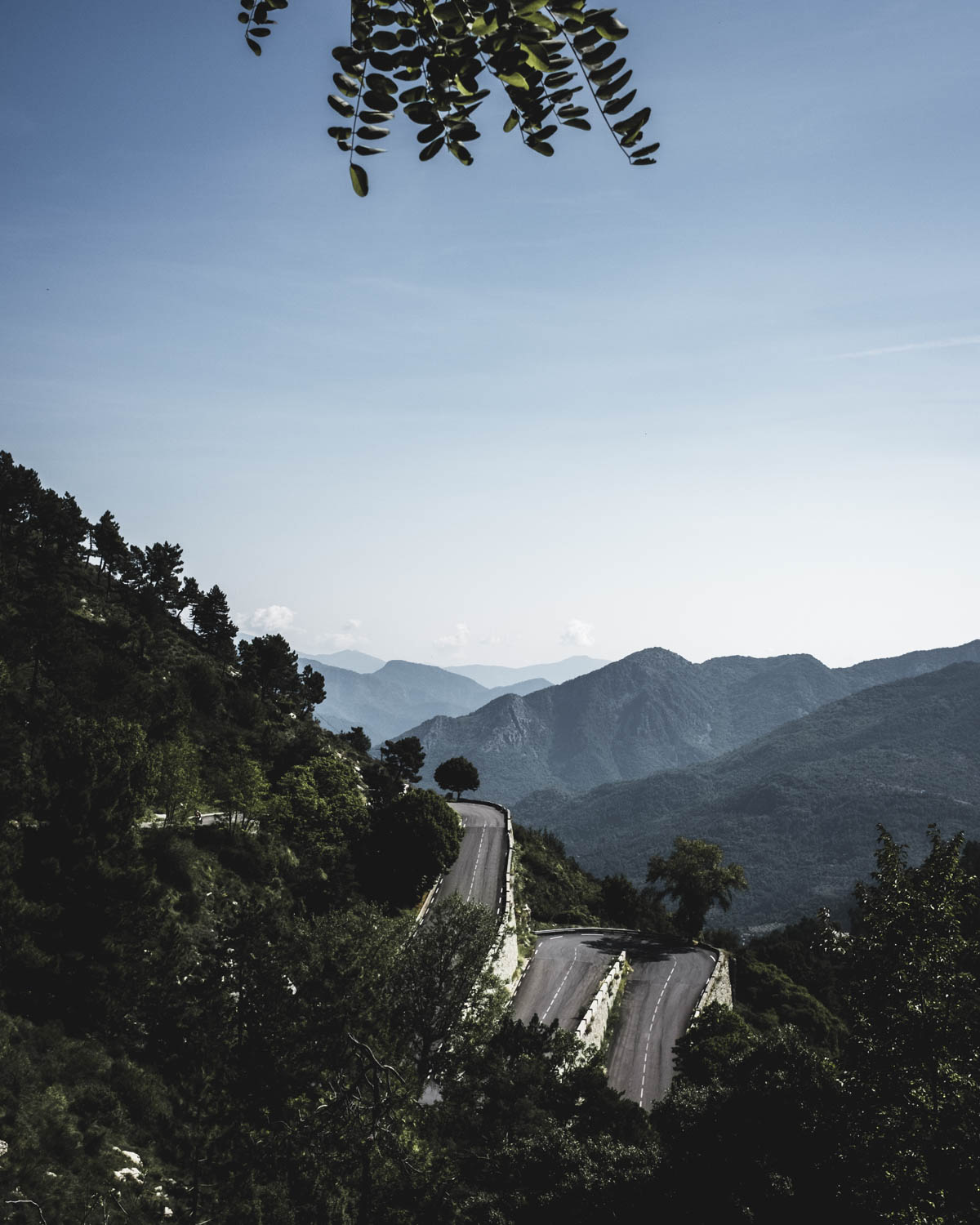

Many thanks to the route designer James Olsen for creating such a memorable experience. The route is free for everyone to ride at any time and published on komoot.
More infos about the event: https://torino-nice.weebly.com